|
|
|
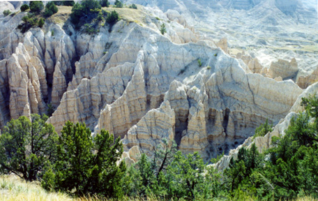
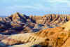
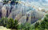
Close up of the gravely clay that makes up the Badlands |
South
Dakota Badlands
|
|
|
|
|
|
|
|
|
|
|
|
|
|
|
|
|
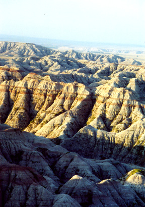
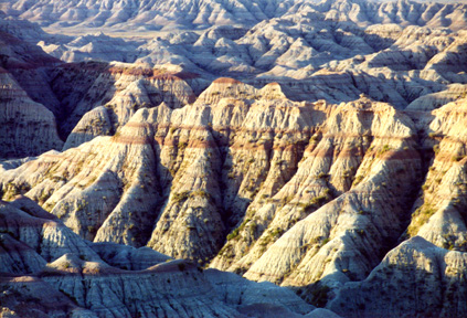
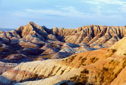
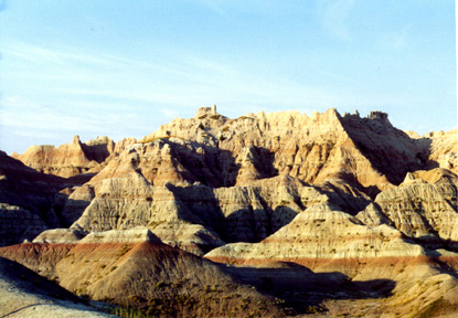
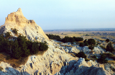
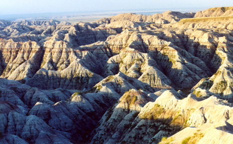
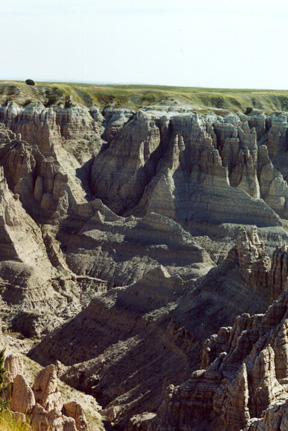
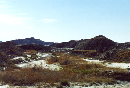
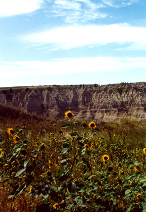
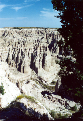
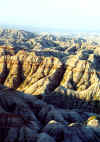
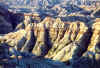
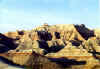
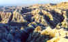
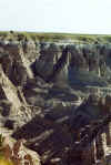
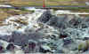
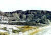
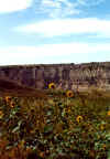
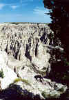
Just various views
of the Badlands. Stark contrasts between the grasslands, plains, impassable
gullies...
|
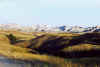
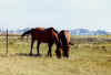
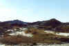
Horses right outside our
campsite.
|
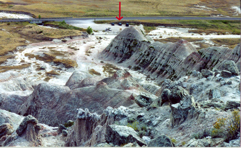
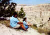
Climbed this little
"peak" and this is the view from the top. The red arrow points to Tina's
car.
|
|
|
|
|
|
|
|
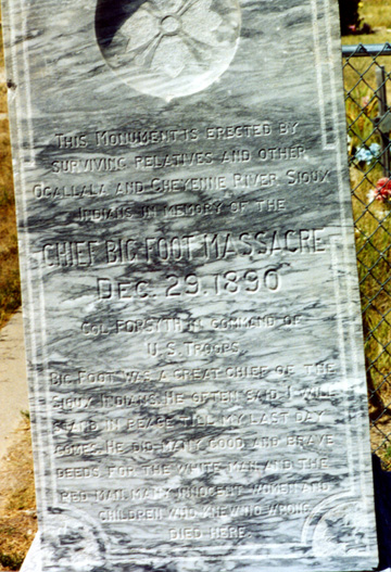
We went to the
Wounded Knee memorial on the Pine Ridge Reservation. This is the monument at the
cemetary. Apparently 110 years ago it was called the Big Foot Massacre. If
you want to know more about Wounded Knee, SD...click here |
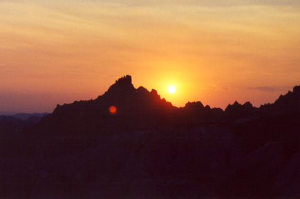
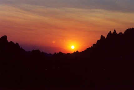
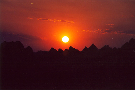
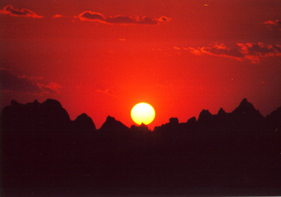
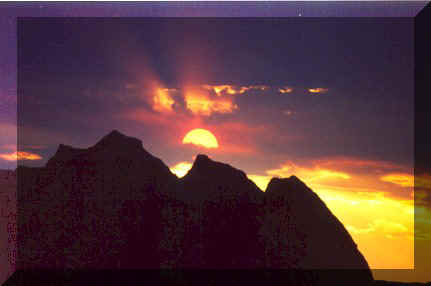
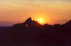
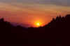
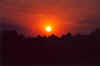
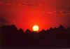
The
smoke from the Jasper fire, in the Black Hills, made for the most awesome sunsets.
Tina humored me, when I asked to drive to a place to get a good view of the sunsets and
dawns. |
|
|
|
|
|

|
|
|

|
|
|
|
|
|
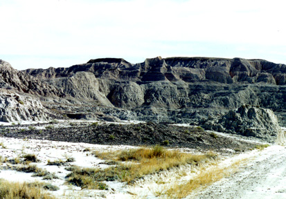
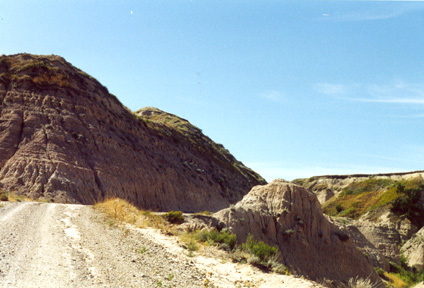
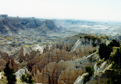
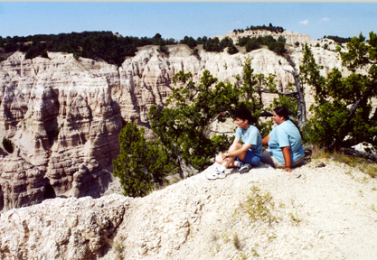
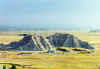
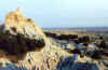
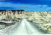
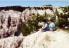
Tina
knew of a place called Sheep Mountain Table. Luckily her car was a four wheel
drive!!! The parts of the road I have photos of here, were Interstate Highways compaired
to some that I didn't take photos of. It took us 45 minutes to travel the 6
miles up and around the back side of Sheep Mountain Table. The Table is like
an island of grass in the sky and looks like this picture to the left. (actually of
another table taken from the top of Sheep Mountain) At the edge of this beautiful
little grass Table, you can see where the bottom opens up to this incredible vista!
|
|
We didn't know until later (though we could have guessed) but it was 108� F the day we
went to Sheep Mountain Table and to Wounded Knee. We ended up at Wall Drug, taking
advantage of the proverbial FREE ICEWATER (and every other non-alcoholic beverage we could
get our hands on!!!) , not to mention the air conditioning.
|